UAS (Unmanned Aerial Systems)
LiDAR Mapping & Imagery Services
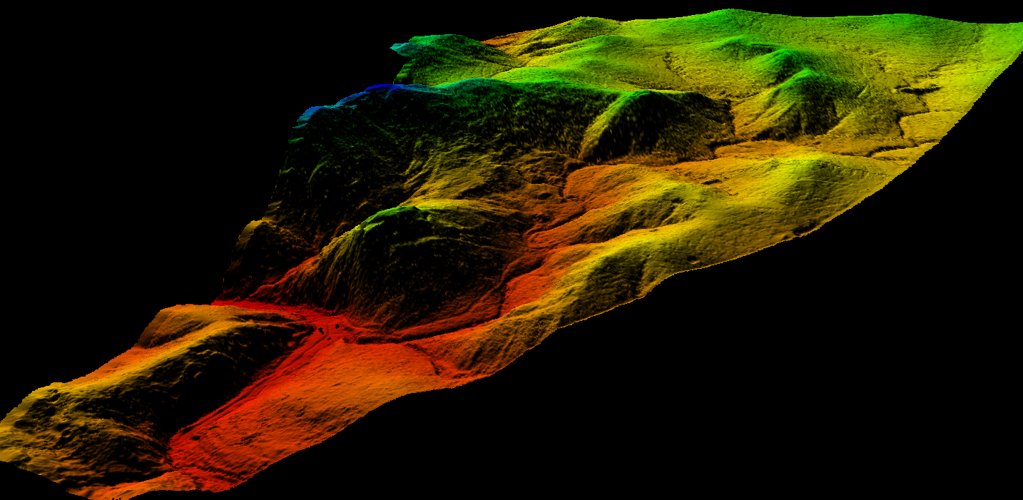
Elevated Imagery aims to provide the most cost effective aerial
mapping services for land surveyors, engineers, and others,
throughout Texas.
Elevated Imagery aims to provide the most cost effective aerial
mapping services for land surveyors, engineers, and others,
throughout Texas.